The Heart of Interoperability

True Data Governance

Cloud-First Architecture


True Data Governance

Cloud-First Architecture

NGCS is where geospatial precision meets emergency readiness, enabling accurate call routing and location validation.
Our solutions ensure 911 calls are routed precisely and quickly using the most current data that can be provided. Leveraging our proprietary rules engine, we automate data validation and transformation processes, reducing manual effort and accelerating deployment timelines.


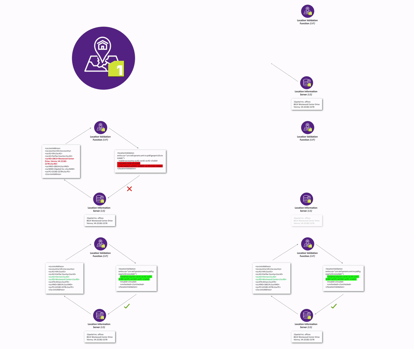
1Spatial’s NGCS functional elements are standards based and leverage the data that will route the call correctly and quickly the first time. Ensuring that OSP 911 data is stored in legacy and CLDXF ensures that the location can be found and routed using the provided geospatial data. By using our 1Locate solution as your transitional LDB database, the data at rest will be legacy and CLDXF compliant. This helps 911 authorities and OSPs make the transition to i3 call delivery model and prepare for the FCC phase 2 requirements by doing LVF validation on every LDB record.

Spatial Interface Advantage: Use the spatial interface to efficiently channel aggregated data to any NGCS solution.

Processing and Reporting Capabilities: Obtain results rapidly, supported by intuitive dashboards and detailed reports for both spatial and tabular data.

Continuous Standard Compliance: Benefit from seamless updates that keep pace with the evolving NENA i3 standards and FCC NG9-1-1 migration requirements.

Direct Data Control: Exercise database ownership with immediate access to your data for enhanced stewardship.

